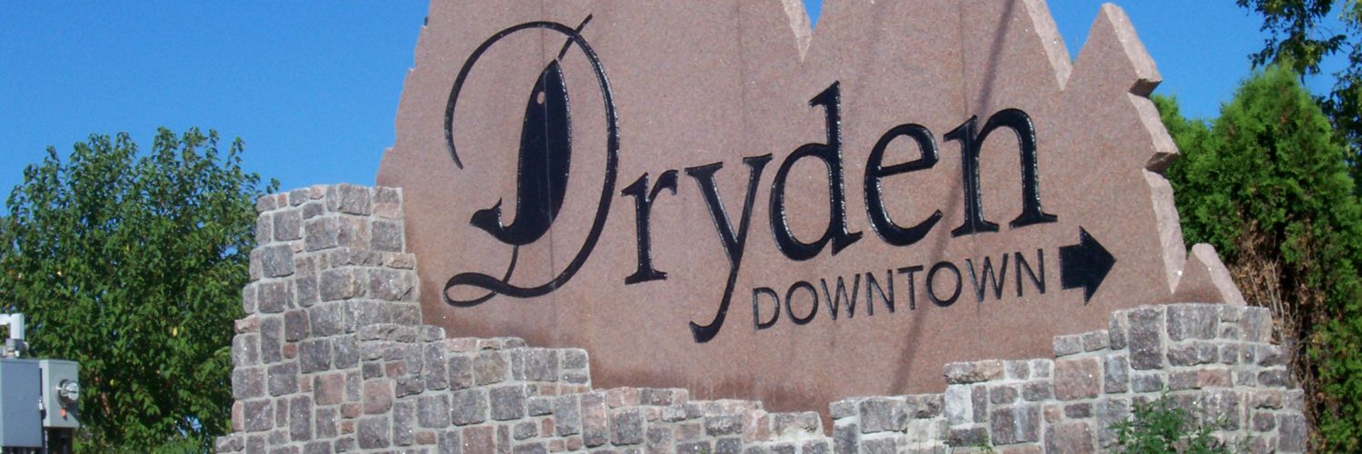
The Town of Dryden was incorporated in 1910. It expanded its boundaries several times before amalgamating with the neighbouring Township of Barclay, to form the new "City of Dryden" on January 1, 1998. Dryden is centrally located in the southern half of the Patricia Region, serving as its hub. Being easily accessible on the Trans-Canada Highway and the CPR rail line, Dryden also has an excellent airport with a 6,000-foot runway. Located at the end of Highway 502 from Fort Frances, a direct link to the USA (Minnesota), the city serves as the dividing point between traffic heading up Highway 105 to Ear Falls and Red Lake, and traffic travelling up Highway 72 to Sioux Lookout and beyond. The steady increase in traffic on the Trans-Canada Highway, combined with Dryden's strategic location midway between Winnipeg and Thunder Bay, has led to a substantial commercial sector serving both local citizens and visitors. Tourism is now a large and stable industry, adding dimension to Dryden's quality of life.
Contact Dryden Tourism for more information.


