Below is a list of frequently asked questions about Vermilion Bay, Ontario. If you have further questions about visiting Sunset Country, such as crossing the US/Canada border, items you can or can't bring into Canada, fishing & hunting licenses and types of accommodations, please visit the Sunset Country FAQs page. If you have further questions about traveling in Vermilion Bay and Northwestern Ontario, please contact us at the Ontario's Sunset Country Travel Association. We can be reached toll-free at 1-800-665-7567 or locally at 807-468-5853 or you can email us your questions.
Where is Sunset Country?
Sunset Country is located in the Northwest corner of Ontario, Canada. We are bordered to the south by Minnesota and to the west by Manitoba. Our eastern border is just west of Thunder Bay.
Where is Vermilion Bay?
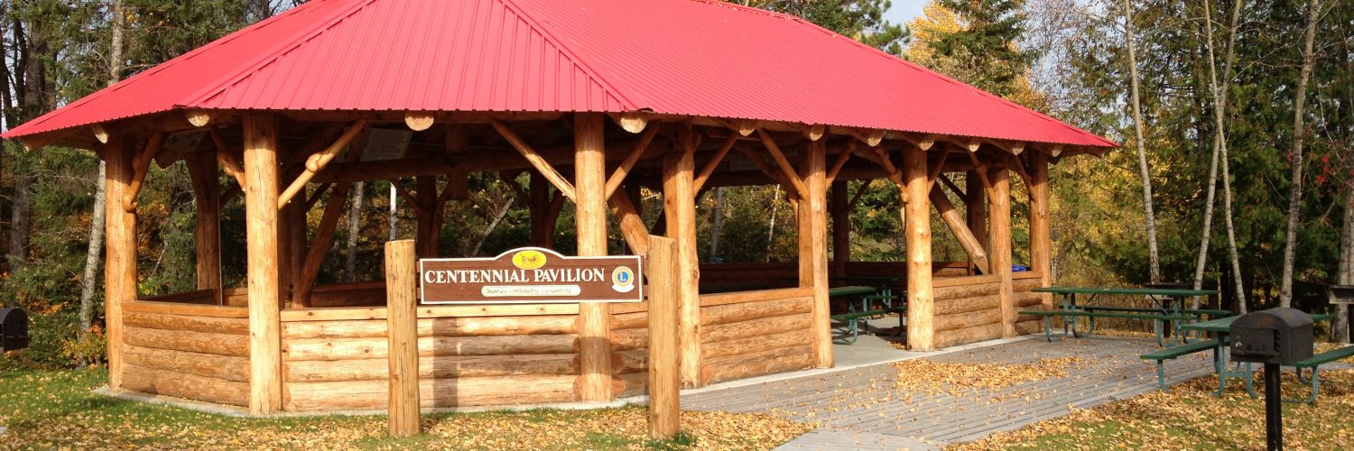
Vermilion Bay (The Township of Machin) is located along the Trans-Canada Highway (17) on the shores of Eagle Lake. The town is situated between Kenora (95 km or 60 miles to the west) and Dryden (45 km or 28 miles to the east). If you are visiting Vermilion Bay from the United States, there are a couple of ways to get to the town. If you are entering Canada through the International Falls/Fort Frances border crossing, go east from Fort Frances on Highway 11 for approximately 30 km's (18 miles), then head north on Highway 502. When you reach Highway 17, turn west (left) away from Dryden and drive 45 km (28 miles) to Vermilion Bay. If you are crossing at the Baudette/Rainy River border crossing, take the toll-free bridge into Rainy River and go east on Highway 11 to the Highway 11/71 junction. Make a left and go north on Highway 71 until you reach Highway 17. Go right (east) on Highway 17 to reach Vermilion Bay.
If you are coming from Winnipeg, Vermilion Bay is just over 3 hours away. All you have to do is follow the Trans-Canada Highway to Vermilion Bay. From Thunder Bay, drive 340 km (210 miles) west on the Trans-Canada Highway (17) to Vermilion Bay.
How do I get to Sunset Country?
Sunset Country is less than a day's drive from many US Midwest cities. All main highways and roads in Sunset Country are paved. From the United States, there are three border crossings - at International Falls, Minnesota, Baudette, Minnesota and at Pigeon River. If you are flying a major airline, you can fly into Winnipeg, Manitoba, Thunder Bay, Ontario or International Falls. Delta Air Lines and SkyWest Air Lines partner to provide air service to Falls International (INL). Bearskin Airlines is a regional airline that flies to many communities in Sunset Country. If you fly into an airport, you can rent a car or van or use a shuttle service to get to Vermilion Bay. Your tourist outfitter should be able to give you suggestions on the easiest way to Vermilion Bay from your home city.
Can I fly into Vermilion Bay?
Vermilion Bay does not have scheduled air service. Charter and personal flights can land at the Vermilion Bay airstrip. Visit the CANPASS website for information on Canadian customs and immigration or call 1-888-226-7277. Bearskin Airlines has scheduled air services to the Dryden Regional Airport with convenient connections to Air Canada, Northwest Airlines, WestJet and Jetsgo.
What are the speed limits in Ontario?
Speed limits are posted in kilometres. Speed limits on the main highways in the area are usually 90 km/hour or 55 mph. Please follow the posted speed limits and watch for wildlife.
- 25 mph = 40 km/hr
- 35 mph = 61 km/hr
- 50 mph = 80 km/hr
- 55 mph = 90 km/hr
- 62 mph = 100 km/hr
Where can I get maps of the area?
You can order a Free Travel Guide & Map of Sunset Country, which has a large pull-out map that shows all of Northwest Ontario (Accommodations & Lodging are dotted on the area map.)
What is the average temperature in Vermilion Bay?
Here's the average temperature in the Vermilion Bay area.
What's the current weather in Vermilion Bay?
Here's the current weather in Vermilion Bay.