*Disclaimer: The routes listed and described here are provided for reference only and should not be relied on for navigation purposes. Ensure you have accurate topographic maps and plan your trip accordingly. Be prepared for emergency situations if they arise, and ensure another person not with you knows the route you're taking and the date of your planned return. If you are a novice paddler, you should use an experienced outfitter/guide to help you safely plan your trip.
70,000 Lakes & Rivers
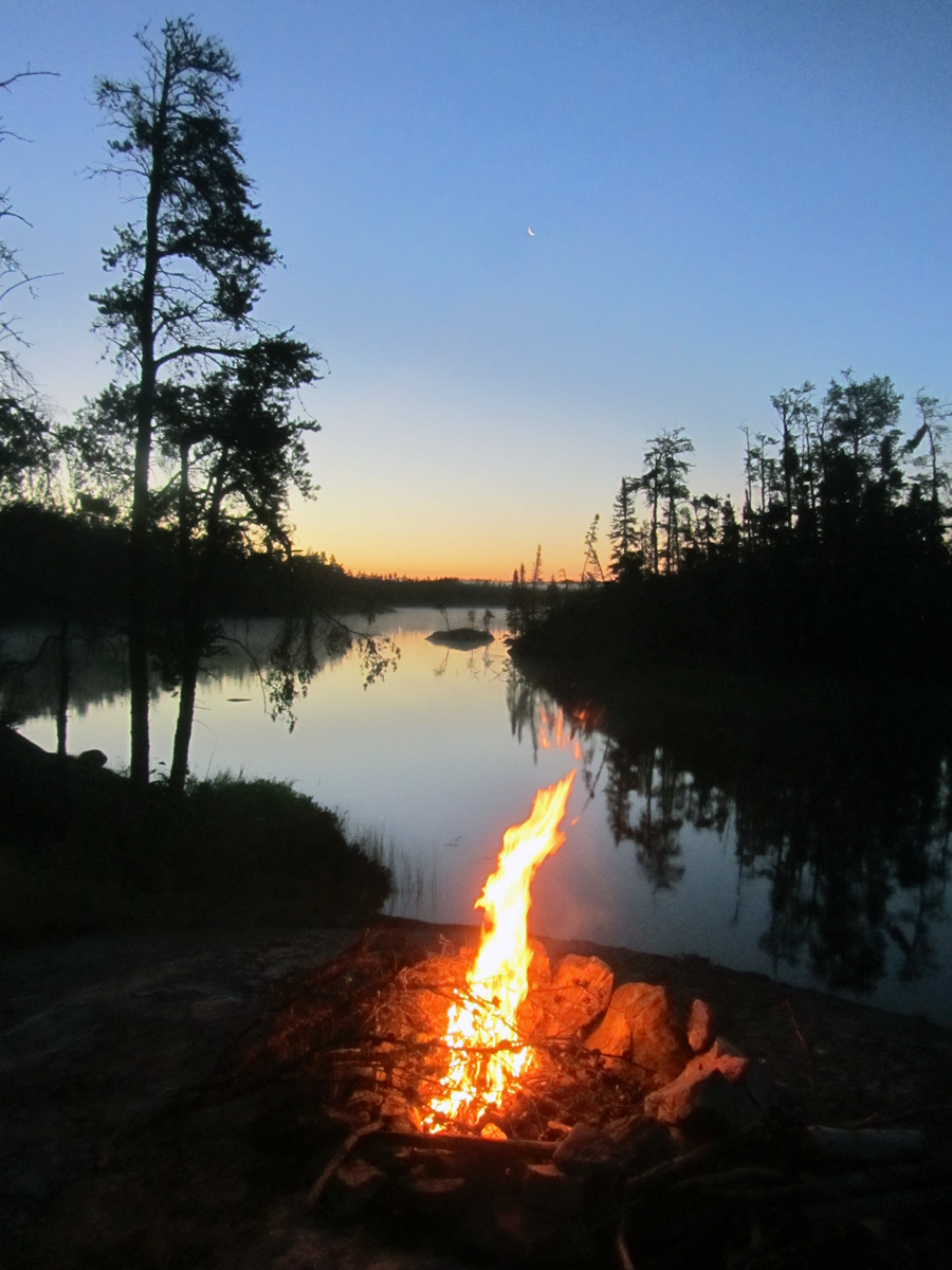
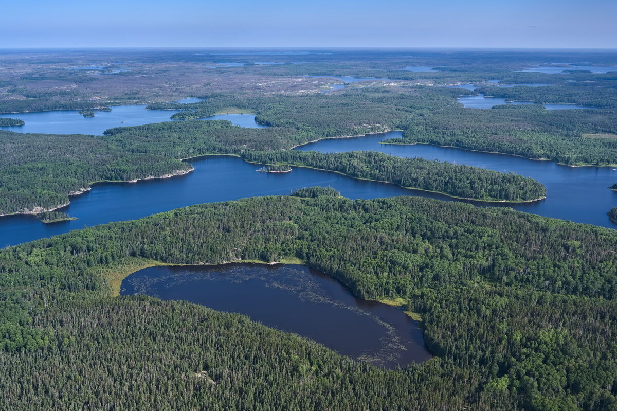
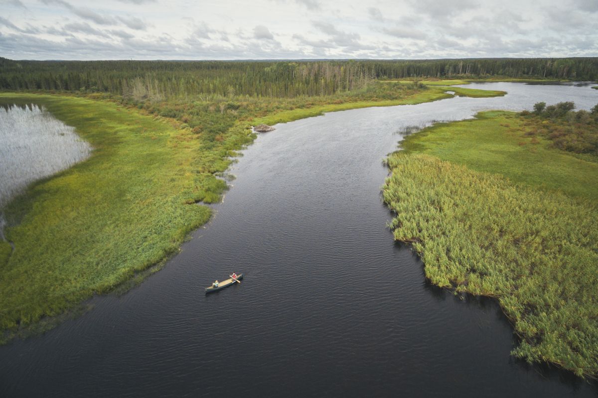
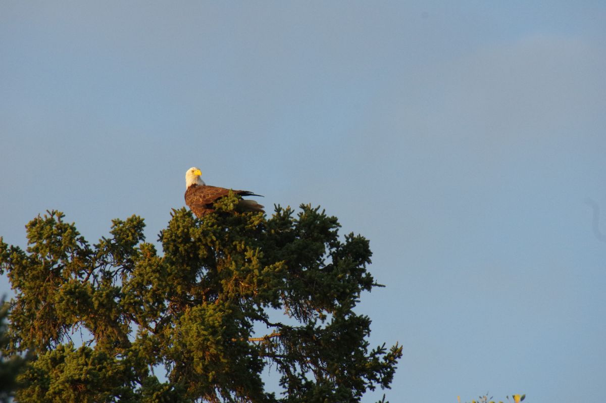
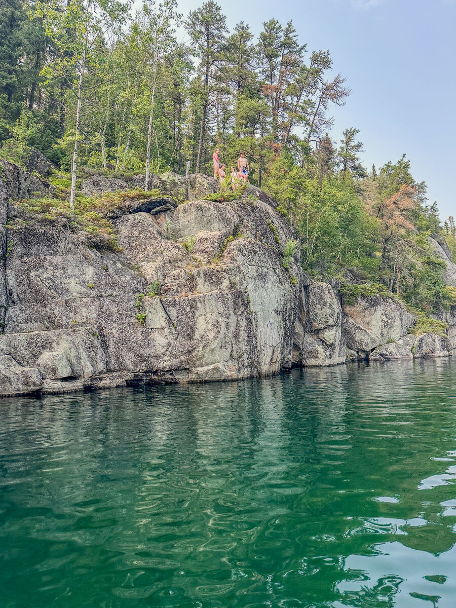
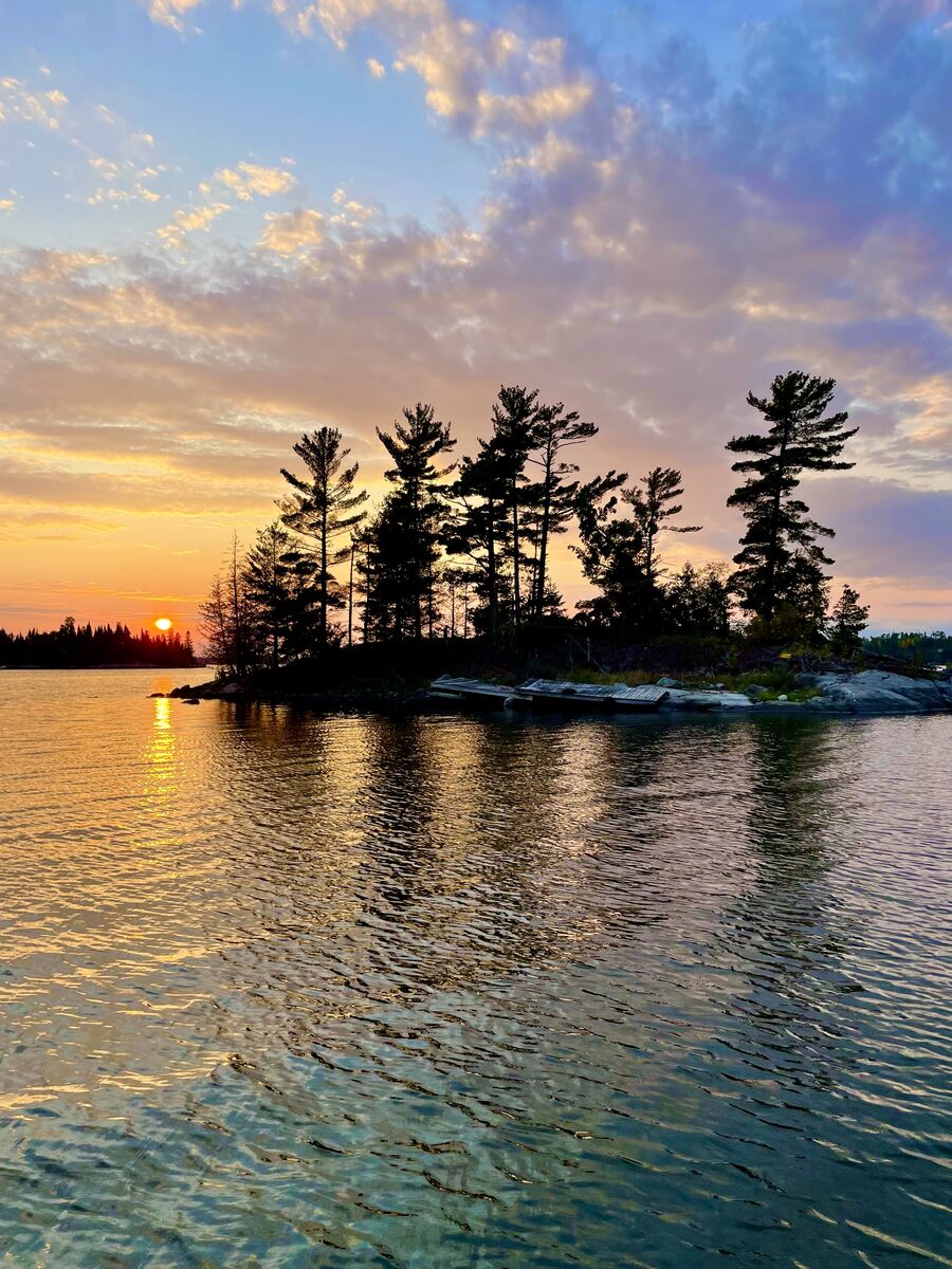
Northwestern Ontario is loaded with freshwater lakes and rivers, 70,000 of them! When you have that much water, the paddling opportunities are mind-blowing. We also have some famous wilderness parks, including Quetico, Woodland Caribou, Wabakimi and the Turtle River-White Otter Wilderness area - to name just a few. There are thousands of canoe routes here. Some are well-known and well-traversed, while others are not. This article lists ten relatively undiscovered routes you may want to consider on your next paddling trip to Northwestern Ontario.
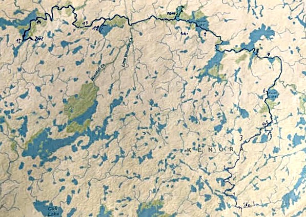
1: Serpent/Berens River
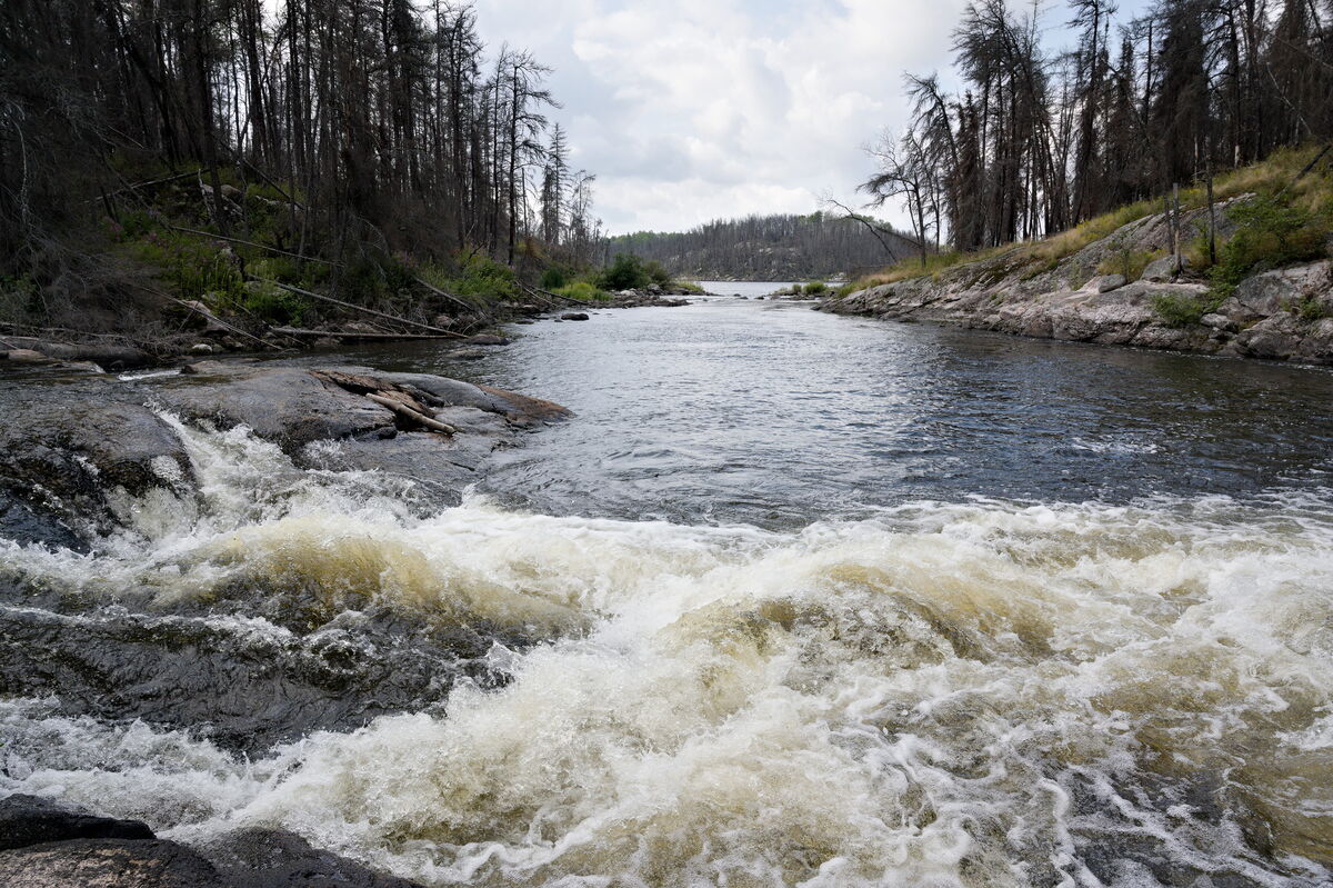
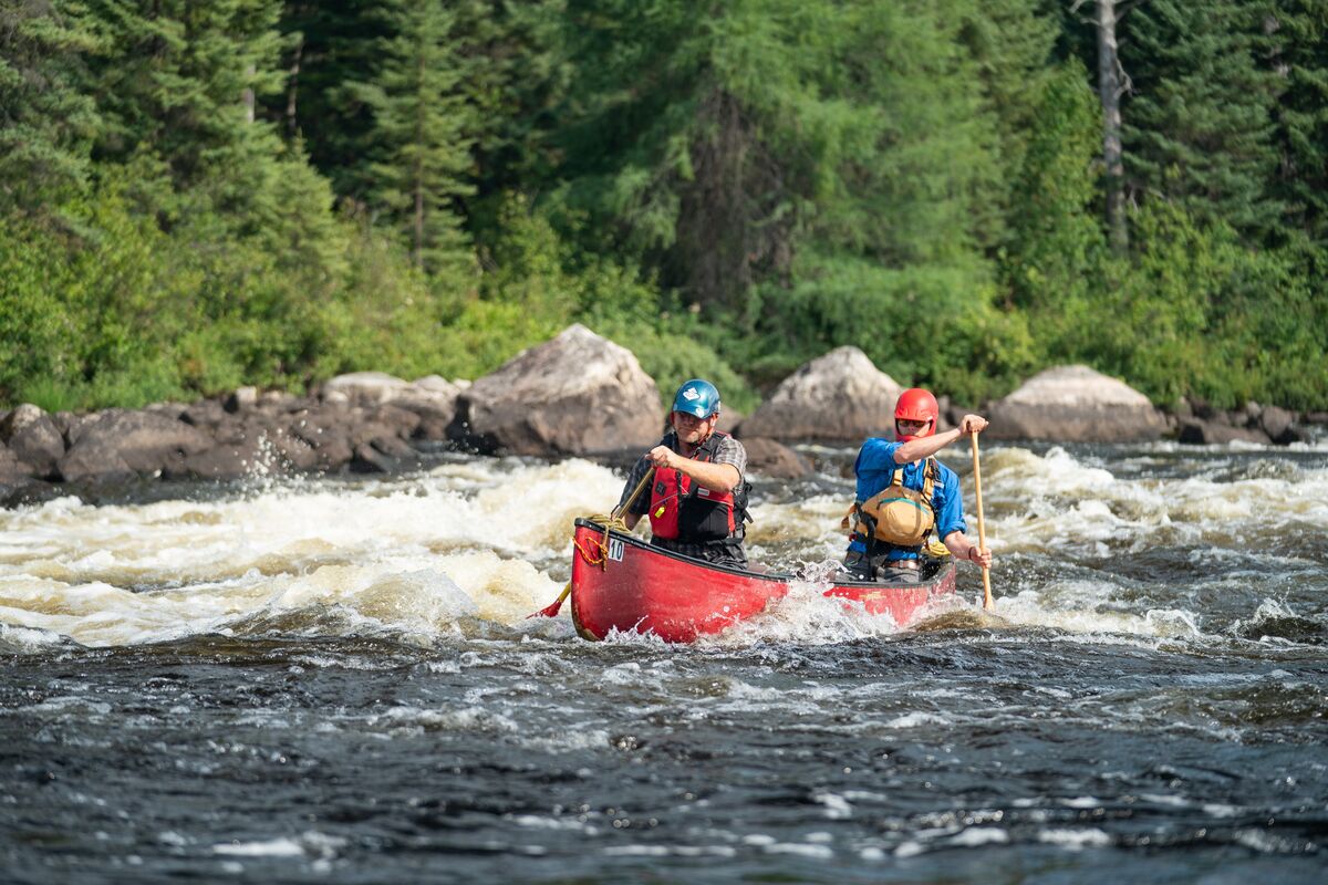
The Serpent/Berens River Trip is along a seldom-travelled waterway through pristine, unlogged Boreal forest. This trip is an ideal mix of river and lake travel with a good handful of technical rapids on the Serpent River and voluminous flows on the Berens, making for a whitewater enthusiast's dream wilderness trip. Fishing is highly productive in the many rapids.
There are a couple of outposts along the way, but not necessarily directly on the route, except the lodge on Goose Lake. Other than that, signs of human use are minimal, so bring a saw. This route is not for novices because of the many rapids and falls that run up to the edge and carry around. It is, however, a river system that the experienced wilderness tripper will never forget. A 7-8 day (mostly) moving water trip with fun rapids to run, excellent walleye fishing and wildlife sightseeing opportunities.
Note: The Serpent section is best done as an early-season trip and is not recommended in dry years. In a low-water start point, flying to Wavell Lake would be required.
Access: Ground shuttle to Shabumeni River bridge or fly into Shabu Lake.
Egress: Ground shuttle on the Nungessor Road from the take-out at the Bak Creek bridge.
Route Length: 170 km (7-8 day trip)
Number of Portages: 30
Total Portage Length: 4.2 km
Difficulty: Difficult
1:50,000 Topo Maps Required: 52 N/10, 52 N7, 52 N15, 52 N14, 52 N13, 52 N12
Outfitter: Goldseekers Canoe Expeditions
2: Broken Arrow Lake to Mexican Hat
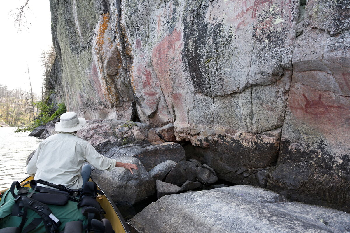
Fly from Red Lake’s seaplane base 56 miles to Broken Arrow Lake. Paddle east and cross onto Haggart Lake. North to Bulging Lake, east northeast along Adventure Creek to Hammerhead Lake, east to Rostoul, Hanson and Glen, then south to Mexican Hat Lake for your float-plane pick-up. Campsites are reasonably easy to locate. Fishing on Haggart and Bulging will be for northern pike and Lake trout. Once you’re on Hammerhead and from there to Mexican Hat, it’ll be primarily walleye with a few lakers in the deeper holes. Pictographs are to be found on Hanson Lake. You’ll travel through a typical Boreal mosaic landscape of recently burned forest to mature boreal forest dominated by jack pines. Be sure to hike to the ridges in the burns for a spectacular view of the surrounding landscape, which looks as much like the high Arctic. The young growth in the burn areas provides excellent browse for moose and caribou, and the abundance of blueberries is a great food source for bears and other omnivores…and they make great muffins!
Access: Fly in
Egress: Fly out
Distance: 56 km (5 days)
Portages: 18
Total Portaging Distance: 3240 m
1:50,000 Topo Maps Required: 52L/14 and 52L/15
*Advanced wilderness tripping skills required.
Outfitter: Goldseekers Canoe Expeditions
3: WCPP Leano Loop
This is a 4-6 day trip, depending on tripping skills. It passes through various forest ages typical of the burn mosaic found throughout Canada’s Boreal Forest. The lakes can be species-specific, so it pays to know which species are in the lakes you plan to fish. Woodland Caribou Provincial Park is an untouched, pristine, 1.2 million-acre wilderness region with 2000 km of intimate canoe routes visited by just over 600 trippers in a typical season. This is a place where you can still feel like you have the wilderness all to yourself.
Access
Travel north off the TransCanada Highway 17 at Vermillion Bay, onto Highway 105 to Red Lake. West onto Highway 618, past the 2 turnoffs to the town of Madsen, right onto Suffel Lake Road, and follow the signs to the Leano Lake entrance of Woodland Caribou Provincial Park. Note: This is an unmaintained logging road, so a high clearance vehicle with adequate tires is highly recommended, or arrange for a shuttle with the local canoe outfitter. The total distance from Red Lake is just over 70 km. Expect a 2- -2.5 hr drive.
The Route:
A 375 m portage leads to Leano Lake from the parking area -be sure not to leave any food or scented items in your vehicle. Head south through Leano to the first portages leading to the Kilburn chain. Proceed south through Kilburn Lake, then turn northwesterly at the point and head north to enter Middle and Upper Kilburn. Paddle and portage through the three unnamed lakes to Paull Lake. Head northeast up the long arm of Paull Lake, where three portages and paddles through beaver ponds will bring you to Jake Lake. Good camping on islands and rock outcrops throughout Jake. Paddle northeast up Jake Lake to a 40m portage leading to the Lunch Lake chain. Paddle southeast through the chain following creek, portaging past waterfalls, to Bunny Lake. Proceed east through Bunny Lake to Leano Lake and exit.
Route Length: 64 km
Total Portage Length: 3,365 m
Longest Portage: 425 m
1:50,000 Topo Maps Required: 52L/9, 52L/10, 52L/15, 52L/16
Outfitter: Goldseekers Canoe Expeditions
4: Little Caribou Lake to Bukemiga Lake (Wabakimi Provincial Park)
Get dropped off at Little Caribou Lake near Armstrong and paddle west and south down Smoothrock Lake south to the Kopka River, the southern park boundary. You will go past four spectacular waterfalls on this route. Get picked up at Bukemiga Lake near Highway 527. About 12 days of paddling and portaging.
Outfitter: Wabakimi Canoe Outfitters
5: Allanwater River (Wabakimi Provincial Park)
A train-in route for those with good whitewater skills is the Allanwater River. Dozens of rapids, from class 1-3, via several possible routes along the way. This is an 8-12 day trip for most people, with a nice mix of lakes, small and large, and a whitewater river with rapids or falls with short portages and good campsites around them… and excellent fishing for delicious walleyes, and monster northern pike—good chances to see moose or caribou.
Outfitter: Wabakimi Canoe Outfitters
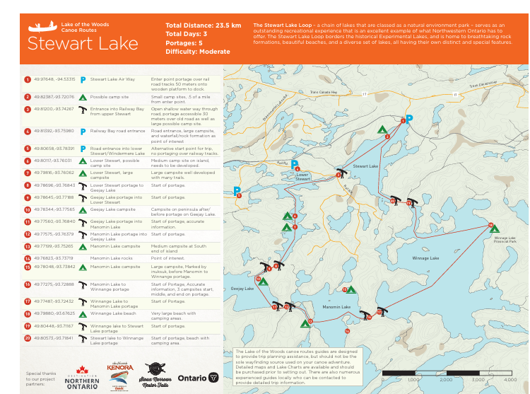
6: Stewart Lake Canoe Route
The Stewart Lake Route near Kenora is a short, three-day route suitable for novice canoeists. It borders the Experimental Lakes Area and is characterized by scenic views and very rocky terrain along the shoreline. Over the three days, you'll cross Winnage Lake, Stewart Lake, Manomin Lake and Geejay Lake. The fishing for walleye, pike and bass is excellent. There are several quality campsites along the route.
Access: Access the starting point on the North end of Stewart Lake, 50 meters past the railroad tracks.
Egress: This route is a loop, so you'll end up at the same point you started after paddling for three days.
Route Length: 23.5 km
Number of Portages: 5
Difficulty: Moderate
Outfitter: Green Adventures
7: Deux Rivieres Route (Quetico PP)
This route in Quetico Provincial Park offers canoeists a challenge, given the long portages, rated as "difficult". There can also be fluctuating water levels in places, especially at the Deux Rivieres, so prepare accordingly. It is good advice to ensure levels are high enough to complete the route as mapped. However, previous trippers have noted encountering bogs in places and recommended neoprene knee-high boots to deal with the issue. The rewards of tackling this route include spectacular fishing and frequent wildlife sightings. Park access permits are required.
Access: Start at French Lake on Highway 11
Egress: Egress point is the same as the access point at French Lake.
Route Length: 71 km
Number of Portages: 8
Total Portage Length: 3,070 m
Longest Portage: 1,160 m
For more info on this route, click here.
Quetico Area Outfitters: Canoe Canada, Branch's Seine River Lodge & Canoe Outfitters, Quetico Outfitters
To visit the Quetico PP website, click here.
8: French Lake - Trousers Lake Loop (Quetico Provincial Park)
This route is suitable for novice paddlers at 36 km long with easy portaging. You can do it in two or three days with a day layover on Trouser Lake for the extra day. Excellent fishing and good camping spots make this a great entry-level route without the demands of many other routes in Quetico. Given that it is a loop, access and egress are in the same spot on French Lake.
Access: Start at French Lake on Highway 11
Egress: Egress point is the same as the access point at French Lake.
Route Length: 36 km
Number of Portages: 10
Total Portage Length: 2,320 m
Longest Portage: 425 m
For more info on this route, click here.
Quetico Area Outfitters: Canoe Canada, Branch's Seine River Lodge & Canoe Outfitters, Quetico Outfitters
To visit the Quetico PP website, click here.
9: Blue Lake Loop (Dryden District)
The Blue Lake Loop is interesting, varied, and located in the Dryden District. This loop covers 17 bodies of water, each unique from the others. This relatively long but only moderately difficult canoe route is suitable for beginners or more experienced paddlers. Given its length, novice paddlers should allow seven days to complete the route. Easy access from the sand beach at Blue Lake Provincial Park, and the route ends in the same spot you started. You come across some fascinating geology along the way, in addition to the beautiful lakes. Lots of wildlife along the route!
Access: Start at the sand beach in Blue Lake PP.
Egress: Egress point is the same as the access point on Blue Lake.
Route Length: 97 km (5-7 days)
Number of Portages: 10
# of Campsites: 19
1:50,000 Topo Maps Required: 52F13, 52F14
For more info on this route, click here.
10: Rushing River - Aulneau Peninsula Loop
If you're pressed for time or new to paddling, the Rushing River - Aulneau Peninsula Route may be a good choice. Starting at Blindfold Lake near Rushing River Provincial Park, this route takes you through to Lake of the Woods and back with spectacular scenery, excellent walleye fishing (especially on Yellow Girl Bay on Lake of the Woods), in addition to being a historically significant canoe route, traversed by many in past times.
Access: Start at Blindfold Lake, Highway 71 at Rushing River PP.
Egress: Egress point is the same as the access point on Blindfold Lake
Route Length: 64 km (5 days)
Number of Portages: 8
1:50,000 Topo Maps Required: 52E8, 52E9, 52E16
To learn more about this route, click here.
Outfitter: Green Adventures
Northwestern Ontario Paddling - Yours to Discover
The 10 routes listed here do not scratch the surface of paddling opportunities in Northwestern Ontario. Many more routes seldom see humans outside of hardy paddlers. Learn more about canoe routes in Northwestern Ontario here. Remember that the northwestern part of the Province is wilderness, so trip planning is a key part of ensuring a safe paddling experience.
Have fun!