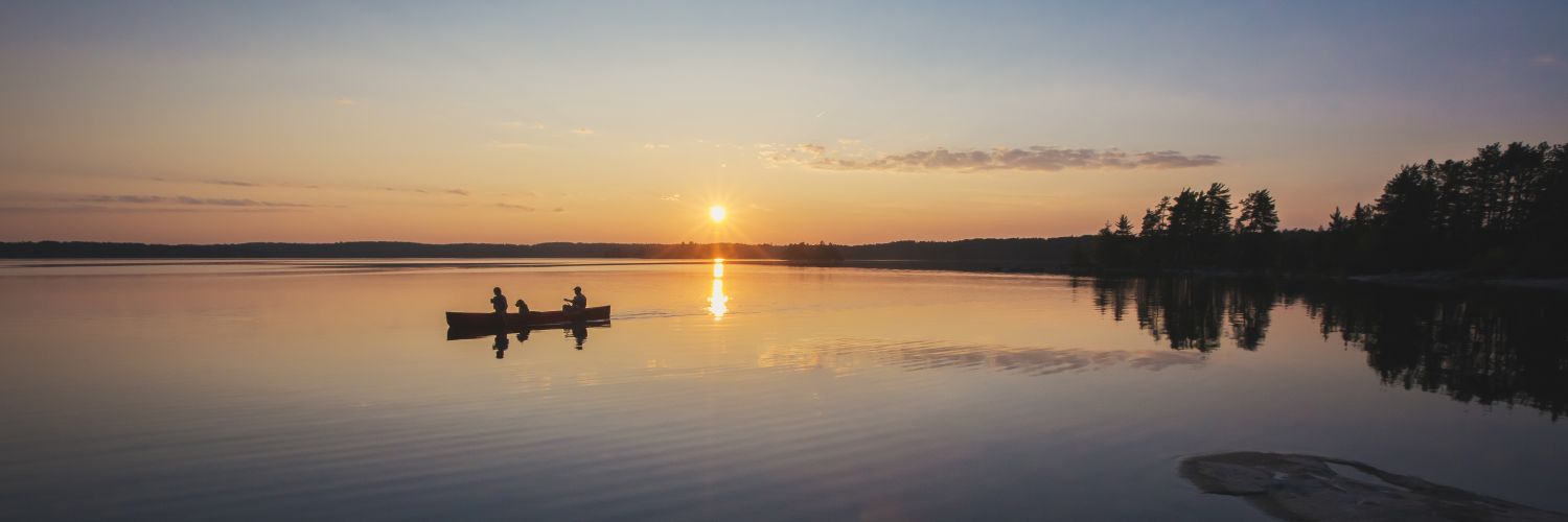
Stretching 60 miles from east to west and 40 miles from north to south, Quetico Park is renowned for its rugged beauty - its towering rock cliffs, majestic waterfalls, virgin pine and spruce forests, picturesque lakes and rivers - and for the best wilderness canoeing in the world. Except for Dawson Trail, the park is accessible only by water. Hundreds of lakes and rivers are linked by portages averaging 400 m. The different canoe routes are endless.
Some areas of the park are more easily traveled than others. Portages and campsites are not signed. It's best to ask park staff at the ranger stations for the most current information about water levels and portage conditions.
Listed below are some suggested canoe routes from each Ranger Station. There are many more routes to take, but this will give first-time users an idea of distance and time.
Dawson Trail Ranger Station:
Baptism Creek-Cache Lake Loop
123 km (6 days) 18 lakes, 20 portages, challenging
Baptism Creek is accessible from French Lake in the northeast corner of Quetico Provincial Park. Few visitors venture southeast of the lake. This route is recommended for seasoned trippers who are physically able to surmount two of the park's most formidable obstacles - the Cache Lake portages. For those who don't mind backtracking or rugged portages, this entry point offers canoeists a quick escape into wilderness solitude and isolation not found at many other entry points.
Atikokan Ranger Station:
Batchewaung-Twin-Jean-Jesse Loop
112 km (6 days) 14 lakes, 18 portages, challenging
This popular route features large and small lakes, creeks and easy portages. Upon reaching Pickerel Lake from Batchewaung, steer an easterly course through Pickerel Narrows then head south and southwest through Dore and Twin lakes to gigantic Sturgeon Lake. Near its west end, enter Jean Creek. After paddling north through Burntside and Jean lakes, bear east on Quetico Lake and continue through Oriana, Jesse and Maria lakes. From there, portage back to Pickerel Lake and return to Nym Lake by reversing the route you followed on the first day.
Beaverhouse Ranger Station:
Cirrus Lake-The Sue Falls Loop
40 miles (4 days) 5 lakes, 7 portages, easy
This loop is ideal for those who prefer long, uninterrupted stretches of paddling, with only an occasional portage for leg-stretching. You paddle from the northeast corner of Beaverhouse Lake and then portage east, first to an unnamed lake and then to Cirrus Lake. With nearly half of the route's portages behind you, paddle to the east end of Cirrus for a view of scenic Sue Falls. Steer south to the longest and most difficult portage of the trip. Upon reaching Kasakokwog Lake, plot a westerly course down McAlpine Creek to another enormous lake. Paddling close to the north shore of Quetico Lake, don't miss ancient rock paintings (pictographs) on the sheer granite cliffs. From the west end of Quetico Lake, the Quetico River carries you back to Beaverhouse Lake.
Lac La Croix Ranger Station:
McAree Lake
easy
McAree Lake is the most convenient of the four entry points accessible from Lac La Croix. From here, it is only three miles to Quetico's interior. Beyond is some of the most beautiful scenery in the entire Quetico-Superior region. Argo and Crooked lakes, Curtain Falls, the Siobhan and Darky rivers and the pictographs of Darky Lake are among the not-too-distant attractions. McAree and Minn lakes are among the 10 lakes in Quetico where native people of the Lac La Croix Guides Association are permitted to use motors no bigger than 10 horsepower. East of these two lakes, however, the only buzzing will be that of the hummingbirds.
Prairie Portage Ranger Station:
Carp Lake-Hunter's Island Loop
379 miles (13 days) 25 lakes, 29 portages, easy to challenging
If you have two full weeks to spend on the water, this route is scenic, historic and one of the most varied. The lakes and rivers along this loop were part of the Voyageurs' Highway - the route of the fur traders between Lake Superior and Rainy Lake. Throughout the loop are historic sites where natives, prospectors, settlers, and loggers left their marks. Counter-clockwise is the best direction to paddle the loop, allowing you to take advantage of the Maligne River's occasional swift current. You should allow one layover day, just in case you get held up by high winds on a large lake.
Cache Bay Ranger Station:
Falls Chain-The K-K-K Loop
168 km (8 days) 26 lakes, 37 portages, challenging
Doing this route in eight days is recommended for strong and experienced paddlers. Most groups average 10 days. From Cache Bay, paddle to the northeast end of Cache Bay. View Silver Falls at the first portage, then paddle to the north end of Saganagons Lake and begin the journey to the Falls Chain to Kawnipi Lake. After paddling Kawnipi to its northwest end, go south along Kahshahpiwi Creek, through Cairn, Sark, and Keefer lakes, all the way to Kahshahpiwi Lake. From there, portage to McNiece Lake. A chain of smaller lakes and streams leads south to Basswood Lake. From there, paddle northeast along a series of international border lakes back to Saganaga Lake.
The above canoe routes are suggested by Ontario Parks. Visit Ontario Parks for more information.