Below is a list of frequently asked questions about Atikokan, Ontario. If you have further questions about visiting Sunset Country such as crossing the US/Canada border, items you can or can't bring into Canada, fishing & hunting licenses and types of accommodations, please visit the Sunset Country FAQs page. If you have further questions about traveling in Atikokan and Northwestern Ontario, please contact us at the Ontario's Sunset Country Travel Association. We can be reached toll-free at 1-800-665-7567 or locally at 807-468-5853 or you can email us your questions.
- Where is Sunset Country?
- Where is Atikokan?
- How do I get to Sunset Country?
- Can I fly into Atikokan?
- What are the speed limits in Ontario?
- Where can I get maps of the area?
- What's the average temperature in Atikokan?
- What's the current weather in Atikokan?
Where is Sunset Country?
Sunset Country is located in the Northwest corner of Ontario, Canada. We are bordered to the south by Minnesota and to the west by Manitoba. Our eastern border is just west of Thunder Bay.

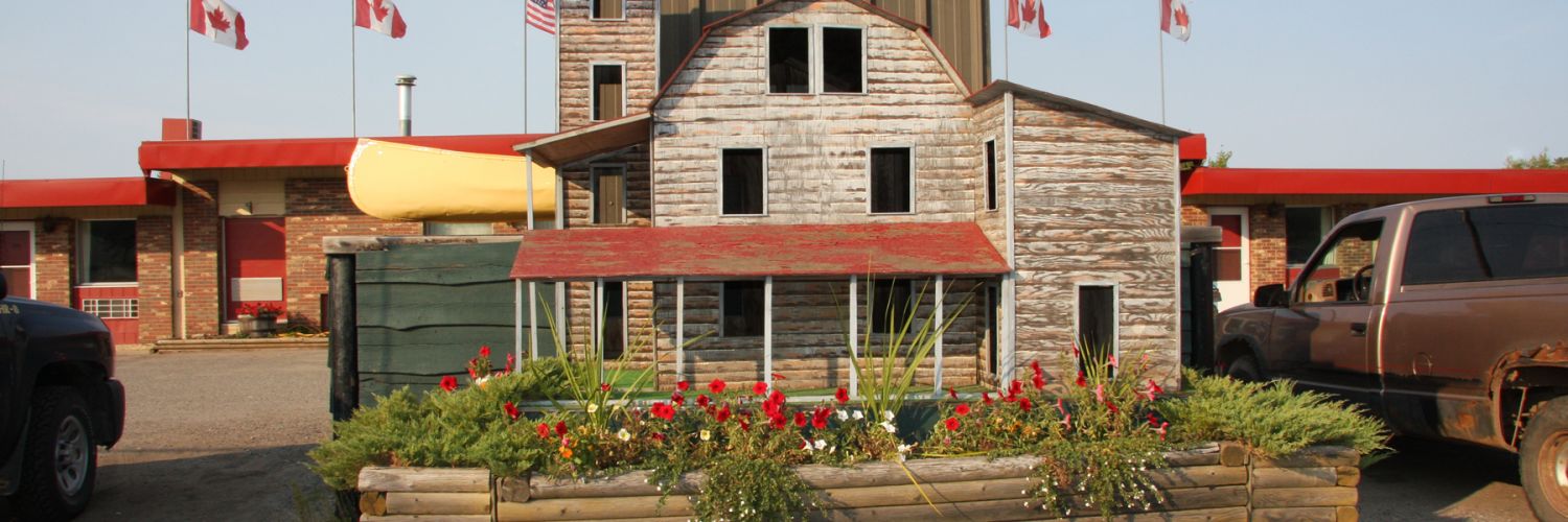
Where is Atikokan?
Atikokan is located along scenic Highway 11/17 just north of Quetico Provincial Park. It is 95 miles (150 km) to Fort Frances and 130 miles (210 km) to Thunder Bay. If entering Canada from the Fort Frances/InternationalFalls border crossing, it's easy to find Atikokan. From Fort Frances, go east 95 miles on Highway 11/17 until you reach the Highway 11/11B Junction. Make a left and go north for a short drive into the community. If you are going through the Pigeon River border crossing, follow Highway 61 into Thunder Bay . From Thunder Bay, go west on Highway 11/17 until you reach Shabaqua. Turn left and go east on Highway 11 until you reach the Highway 11/11B turnoff. At the junction, make a right and go north for a few minutes until you reach the town.
How do I get to Sunset Country?
Sunset Country is less than a day's drive from many US Midwest cities. All main highways and roads in Sunset Country are paved. If you are flying, you can fly into Thunder Bay, ON or International Falls, MN. From there you can rent a car or van or use a shuttle service to get to Atikokan.
Can I fly into Atikokan?
Charter and personal flights can land at the Atikokan Municipal Airport. There is no scheduled air service into Atikokan. The airport provides day-night, all-weather service with a full range of facilities. The airport also has direct access to a floatplane bas e. Visitors arriving at the airport can be easily transported to their wilderness destination. Visit the CANPASS website for information on Canadian customs and immigration.
What are the speed limits in Ontario?
Speed limits are posted in kilometers. Speed limits on the main highways in the area usually 90 km/hour or 55 mph. Please follow the posted speed limits and watch for wildlife.
- 25 mph = 40 km/hr
- 35 mph = 57 km/hr
- 50 mph = 80 km/hr
- 55 mph = 90 km/hr
- 62 mph = 100 km/hr
Where can I get maps of the area?
You can order a Free Travel Guide & Map of Sunset Country, which has a large pull-out map that shows all of Northwest Ontario (Accommodations & Lodging are dotted on the area map.) You can purchase maps of the area at www.canadamapsales.com. Hydrographic Charts, Angling Maps and Topographical Maps are available. You can also phone Canada Map Sales 1-877-627-7226 to find out which maps are available for the lakes you will be visiting.
What is the average temperature in Atikokan?
Here's the average temperature in Atikokan.
What's the current weather in Atikokan?
Here's the current weather in Atikokan.