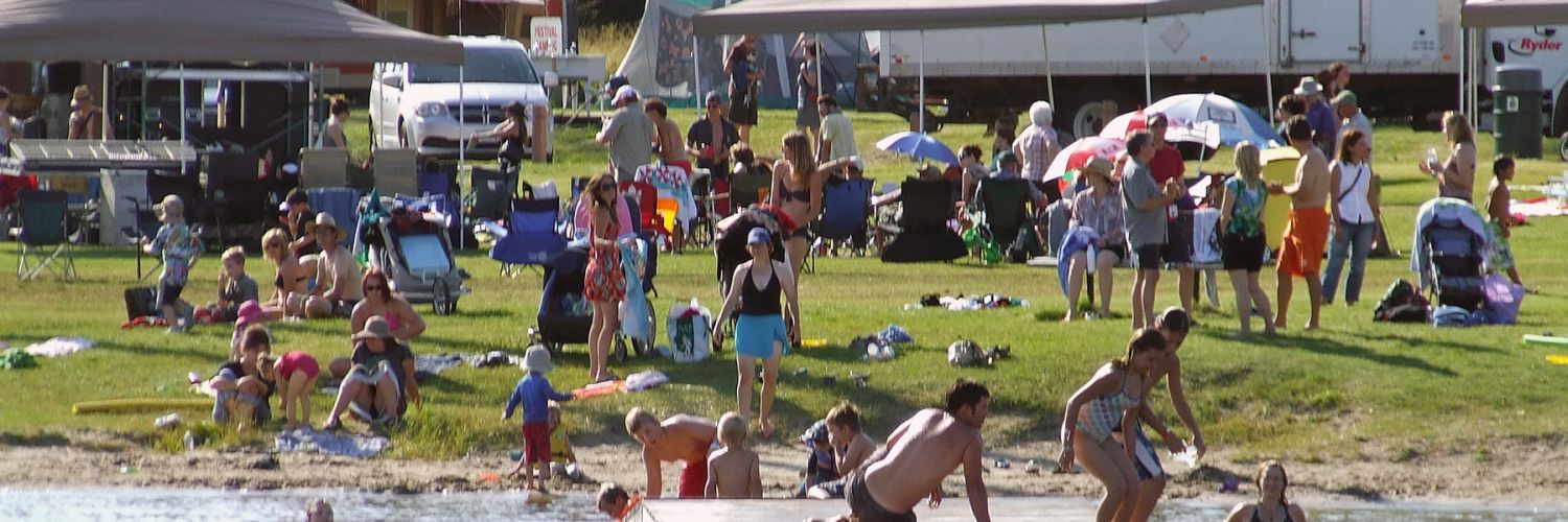
Below is a list of frequently asked questions about Ear Falls, Ontario. If you have further questions about visiting Sunset Country such as crossing the US/Canada border, items you can or can't bring into Canada, fishing & hunting licenses and types of accommodations, please visit the Sunset Country FAQs page. If you have further questions about traveling in Ear Falls and Northwestern Ontario, please contact us at the Ontario's Sunset Country Travel Association. We can be reached toll-free at 1-800-665-7567 or locally at 807-468-5853 or you can email us your questions.
- Where is Sunset Country?
- Where is Ear Falls?
- How do I get to Sunset Country?
- Can I fly into Ear Falls?
- What are the speed limits in Ontario?
- Where can I get maps of the area?
- What's the average temperature in Ear Falls?
- What's the current weather in Ear Falls?
Where is Sunset Country?
Sunset Country is located in the Northwest corner of Ontario, Canada. We are bordered to the south by Minnesota and to the west by Manitoba. Our eastern border is just west of Thunder Bay.
Where is Ear Falls?
Ear Falls is located along Highway 105 between Vermilion Bay and Red Lake. The town is located on the English River and has close access to Lac Seul. If you are driving from the U.S., the easiest way to get to Ear Falls is to go through the International Falls/Fort Frances border. Go east from Fort Frances on Highway 11 for approximately 30 kms (18 miles), then head north on Highway 502. When you reach Highway 17, turn west (left) away from Dryden and head towards Vermilion Bay for 45 kms (28 miles). At Vermilion Bay, take Highway 105 north 102 kms (62 miles) to Ear Falls.
From Winnipeg, you'll take the Trans-Canada Highway (Highway 1 in Manitoba and Highway 17 in Ontario) and go east for about 305 kms (182 miles) until you reach Vermilion Bay. At Vermilion Bay, take Highway 105 north 102 kms (62 miles) to Ear Falls.
If you're coming from Thunder Bay, you'll take the Trans Canada Highway 17 and go west 385 kms (230 miles) until you reach Vermilion Bay. From there, take Highway 105 north 102 kms (62 miles) to Ear Falls.
How do I get to Sunset Country?
Sunset Country is less than a day's drive from many U.S. Midwest cities. There are three border crossings from Minnesota: Baudette, International Falls, and Pigeon River. All main highways and roads in Sunset Country are paved. If you are flying, you can fly into Winnipeg, MB, Thunder Bay, ON or International Falls, MN. From the airport you rent a car or van or use a shuttle service. Your tourist outfitter should be able to give you suggestions on the easiest way to Ear Falls from your home city.
Can I fly into Ear Falls?
Bearskin Airlines has scheduled air services to the Red Lake Airport Charter and personal flights can also land at the Red Lake Airport. Red Lake has a 5000' paved runway. Red Lake is 70 kms (43 miles) north of Ear Falls. Visit the CANPASS website for information on Canadian customs and immigration or call 1-888-226-7277.
What are the speed limits in Ontario?
Speed limits are posted in kilometers. Speed limits on the main highways in the area usually 90 km/hour or 55 mph. Please follow the posted speed limits and watch for wildlife.
- 25 mph = 40 km/hr
- 35 mph = 57 km/hr
- 50 mph = 80 km/hr
- 55 mph = 90 km/hr
- 62 mph = 100 km/hr
Where can I get maps of the area?
You can order a Free Travel Guide & Map of Sunset Country, which has a large pull-out map that shows all of Northwest Ontario (Accommodations & Lodging are dotted on the area map.) You can purchase maps of the area at www.canadamapsales.com. Hydrographic Charts, Angling Maps, and Topographical Maps are available. You can also phone Canada Map Sales 1-877-627-7226 to find out which maps are available for the lakes you will be visiting.
What is the average temperature in Northwestern Ontario?
Here's the average temperature in Ear Falls.
What's the current weather in Ear Falls?
Here's the current weather in Ear Falls.