Below is a list of frequently asked questions about Kenora, Ontario. If you have further questions about visiting Sunset Country, such as crossing the US/Canada border, items you can or can't bring into Canada, fishing & hunting licenses and types of accommodations, please visit the Sunset Country FAQs page. If you have further questions about travelling in Kenora and Northwestern Ontario, please contact us at the Ontario Sunset Country Travel Association. We can be reached toll-free at 1-800-665-7567 or locally at 807-468-5853, or you can email us your questions.
Where is Sunset Country?
Sunset Country is located in the Northwest corner of Ontario, Canada. We are bordered to the south by Minnesota and to the west by Manitoba. Our eastern border is just west of Thunder Bay.
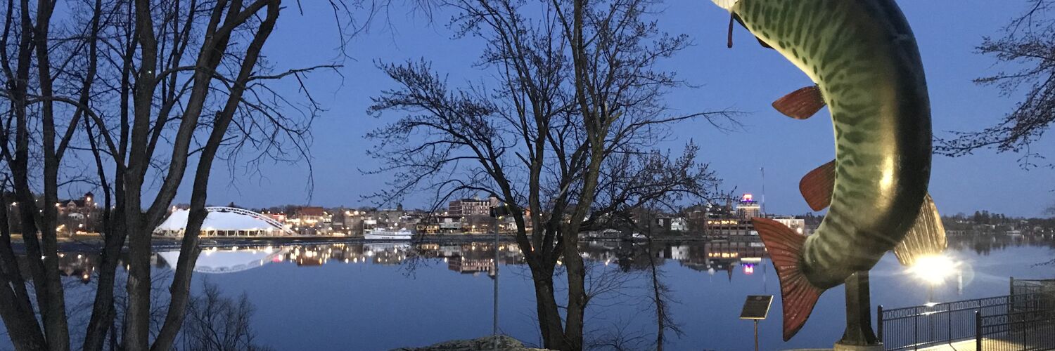
Where is Kenora?
Kenora is located at the north end of Lake of the Woods, just off the Trans-Canada Highway (17). Kenora is about 200 km or 125 miles from Winnipeg. Just head east out of Winnipeg on the Trans-Canada Highway (Highway 1 in Manitoba and Highway 17 in Ontario) and after about 2 hours you'll come across the Kenora Bypass. Veer right onto Highway 17A, which will take you into Kenora.
If you are coming from the United States, the quickest way to reach Kenora is through the International Falls, MN/Fort Frances, ON border or the Baudette, MN/Rainy River, ON. If you cross at International Falls, go west on Highway 11 from Fort Frances until you reach the Highway 71 junction. Go north on Highway 71 past Nestor Falls and Sioux Narrows until you reach Highway 17. Then turn left (west) on Highway 17 and drive a short distance until you reach the Bypass intersection. To head into the City of Kenora, make a left onto Highway 17A which will take you directly into the city. As you enter Kenora, be sure to stop at the Tourism Information Centre on your right. If you are coming through Baudette, go east from Rainy River until you reach the Highway 11/71 junction. Make a left and go north on Highway 71 and follow the directions above.
How do I get to Sunset Country?
Sunset Country is less than a day's drive from many cities in the US Midwest. All main highways and roads in Sunset Country are paved. From the United States, there are three border crossings - at International Falls, Minnesota, Baudette, Minnesota and at Pigeon River. If you are flying, you can fly into Winnipeg, MB or into the Kenora Airport by charter/private aircraft. If you fly into Winnipeg, you can rent a car, van, or use a shuttle service to get to Kenora.
Can I fly into Kenora?
Charter and personal flights can land at the Kenora Airport. Kenora has a 5800' paved runway. Contact the Kenora Airport Authority at 807-548-5377 for more information.
What are the speed limits in Ontario?
Speed limits are posted in kilometers. Speed limits on the main highways in the area usually 90 km/hour or 55 mph. Please follow the posted speed limits and watch for wildlife.
- 25 mph = 40 km/hr
- 35 mph = 57 km/hr
- 50 mph = 80 km/hr
- 55 mph = 90 km/hr
- 62 mph = 100 km/hr
Where can I get maps of the area?
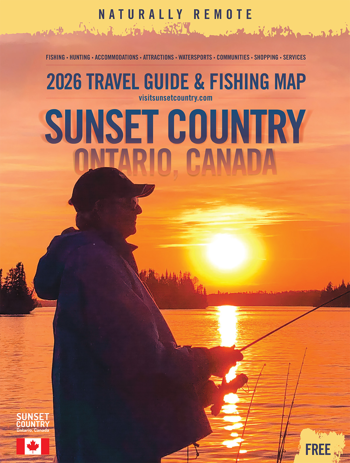
You can order a Free Travel Guide & Map of Sunset Country, which has a large pull-out map that shows all of Northwest Ontario (Accommodations & Lodging are dotted on the area map.)
What is the average temperature in Kenora?
Here's the average temperature in the Kenora area.
What's the current weather in Kenora?
Here's the current weather in Kenora.