Below is a list of frequently asked questions about Sioux Narrows, Ontario. If you have further questions about visiting Sunset Country such as crossing the US/Canada border, items you can or can't bring into Canada, fishing & hunting licenses and types of accommodations, please visit the Sunset Country FAQs page. If you have further questions about traveling in Sioux Narrows and Northwestern Ontario, please contact us at the Ontario's Sunset Country Travel Association. We can be reached toll-free at 1-800-665-7567 or locally at 807-468-5853 or you can email us your questions.
Where is Sunset Country?
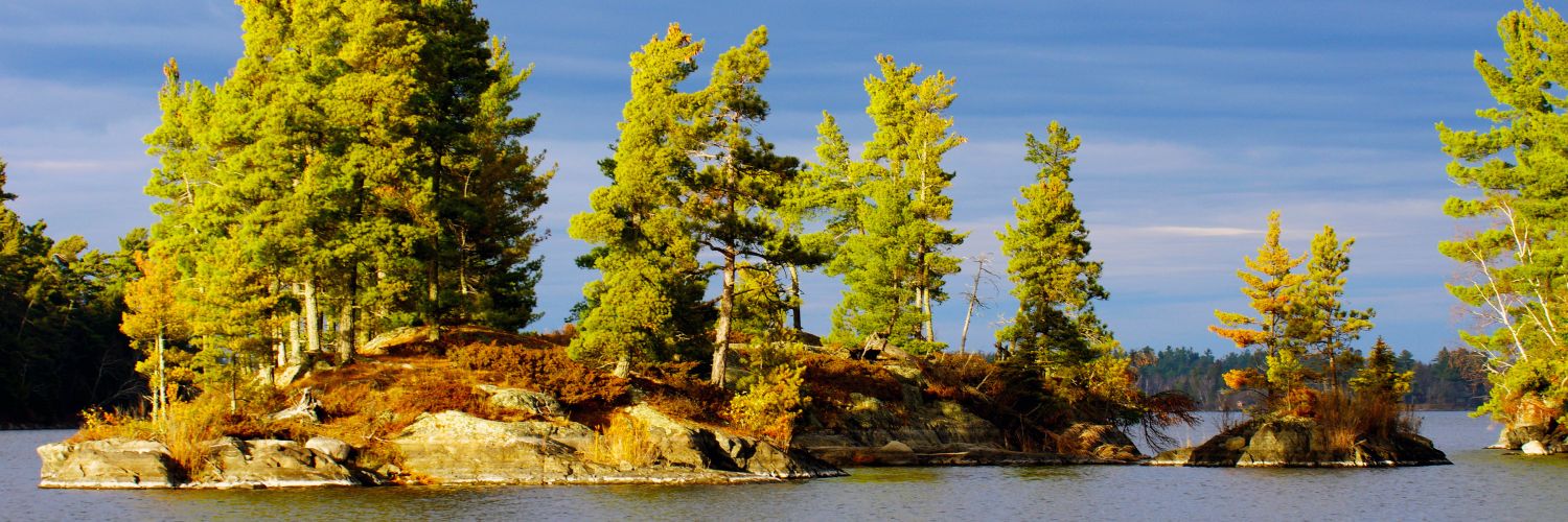
Sunset Country is located in the Northwest corner of Ontario, Canada. We are bordered to the south by Minnesota and to the west by Manitoba. Our eastern border is just west of Thunder Bay.
Where is Sioux Narrows?
Sioux Narrows is located on the shores of beautiful Lake of the Woods on Highway 71. If you are coming from the United States, you can enter Canada through either the International Falls/Fort Frances border crossing or the Baudette/Rainy River border crossing. From Fort Frances, drive east on Highway 11 until you reach Highway 71. At Highway 71, take a right and north past Nestor Falls until you reach Sioux Narrows. The community is 138 km (85 miles) north of International Falls, MN. If you go through the toll-free bridge at the Rainy River crossing, go west on Highway 11 until you reach Highway 71. Then make a left and go north past Nestor Falls until you reach Sioux Narrows. The town is 145 km (90 miles) north of the international border entrance at Baudette, MN and Rainy River, Ontario.
If you are coming from Winnipeg, take the Trans Canada Highway past Kenora. Just past the city is the Highway 17/71 junction. Make a right onto Highway 71 and go south until you reach Sioux Narrows. The town is just 78 km (50 miles) south of Kenora.
How do I get to Sunset Country?
Sunset Country is less than a day's drive from many US Midwest cities. All main highways and roads in Sunset Country are paved. From the United States, there are three border crossings - at International Falls, Minnesota, Baudette, Minnesota and at Pigeon River. If you are flying a major airline, you can fly into Winnipeg, Manitoba, Thunder Bay, Ontario or International Falls, Minnesota. Delta Air Lines and SkyWest Air Lines partner to provide air service to Falls International (INL). Bearskin Airlines is a regional airline that flies to many communities in Sunset Country. If you fly into an airport, you can rent a car or van or use a shuttle service to get to Sioux Narrows. Your tourist outfitter should be able to give you suggestions on the easiest way to Sioux Narrows from your home city.
Can I fly into Sioux Narrows?
Sioux Narrows no longer has an airstrip. You can fly into Kenora, which is about a 45 minute drive away. Visit the CANPASS website for information on Canadian customs and immigration. If you are flying a major airline you have a few options. You can fly into International Falls in the U.S. via Minneapolis. Shuttle services are available to drive you to Sioux Narrows or you can rent a car and enjoy the scenic drive along Highway 71. If you fly into Winnipeg, Manitoba, you can rent a car at the airport and drive 3 hours to Sioux Narrows. Another option is to have a connecting flight to Kenora from Winnipeg on Bearskin Airlines.
What are the speed limits in Ontario?
Speed limits are posted in kilometers. Speed limits on the main highways in the area usually 90 km/hour or 55 mph. Please follow the posted speed limits and watch for wildlife.
- 25 mph = 40 km/hr
- 35 mph = 61 km/hr
- 50 mph = 80 km/hr
- 55 mph = 90 km/hr
- 62 mph = 100 km/hr
Where can I get maps of the area?
You can order a Free Travel Guide & Map of Sunset Country, which has a large pull-out map that shows all of Northwest Ontario (Accommodations & Lodging are dotted on the area map.) You can purchase maps of the area at www.canadamapsales.com. Hydrographic charts, angling maps, and topographical maps are available. You can also phone Canada Map Sales 1-877-627-7226 to find out which maps are available for the lakes you will be visiting.
What is the average temperature in Sioux Narrows?
Here's the average temperature in the Sioux Narrows area.
What's the current weather in Sioux Narrows?
Here's the current weather in Sioux Narrows.